GIS and IoT
Network-connected devices and geolocation systems are core elements of our everyday lives, involved in a continuous exchange of information.
Solution_GIS and IoT
A world of data and interconnections
IoT (Internet of Things) systems enable everyday objects, whether they are devices or smart accessories, to establish a connection to the network. An IoT device is integrated into such appliances, making it possible to send a command to a certain object or to collect and transmit data through wireless networks.
Home automation devices are just one example of how an IoT system works: via an internet connection, they enable you to store data and give orders to other objects.
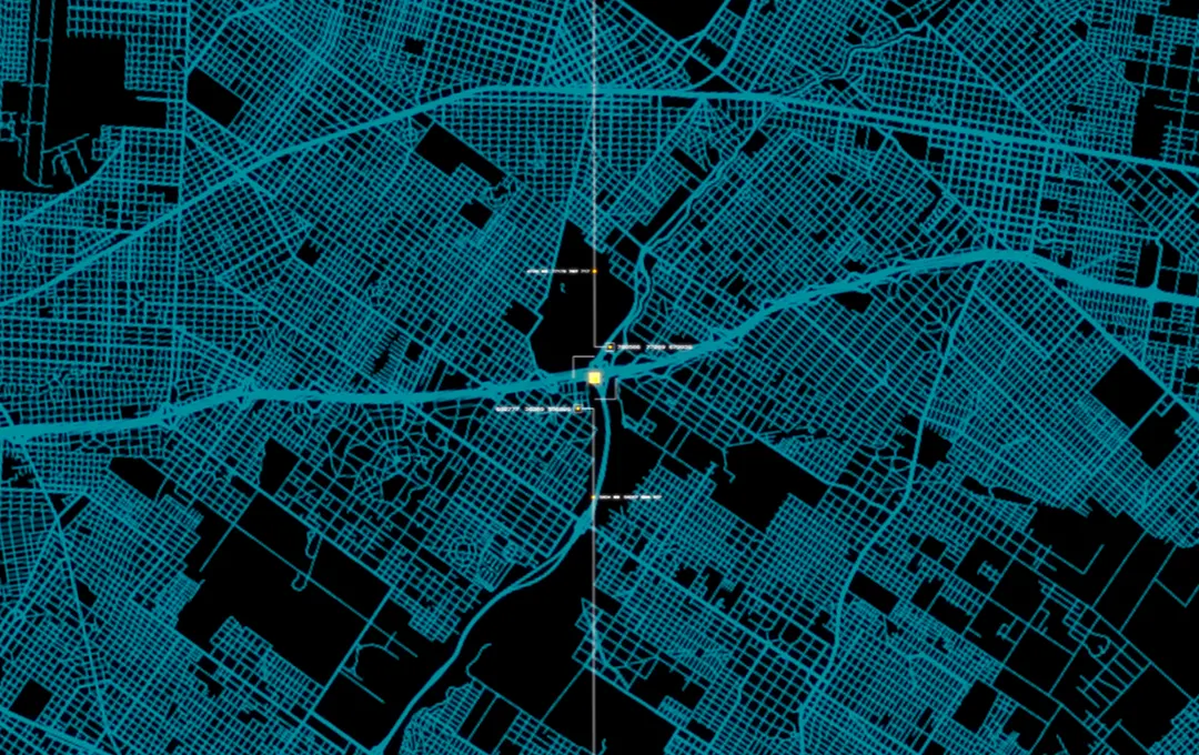
Equally common in everyday life are GIS (Geographic Information System) systems – tools for the analysis and representation of elements in the territory.
These are based on geographic software and used to locate objects or study the evolution of an environment, via the collection of information, the creation of maps and the display (2D or 3D) of elements. GIS systems are valuable supports for entities that need specific technologies and devices to develop mobility or environmental analysis solutions.
Every day we are surrounded by digital systems that offer us simple solutions to complex problems.
With you towards innovation
Among our end-to-end solutions, we can develop and integrate IoT systems into various types of devices, for companies, entities and public administrations. To do this, we design up-to-date and secure software, able to meet the different needs of customers. One of these is Take Care, Sferanet’s innovative Virtual Medical Assistant.
For our GIS solutions, we have relied for several years on a partnership and the involvement of leading laboratories to assist us in the design of software for the acquisition of geographical data – such as the Safemind data monitoring platform – relying on increasingly up-to-date technologies:
- GIS web platforms (Esri and Google)
- Real-time localisation systems (mobile mapping, indoor mapping, RFID)
- Pre/post processing LIDAR data management
- Analysis via decision support systems (DSS).